Dreaming about waking up to Atlantic light in Cape Elizabeth? Ocean-view homes here can be spectacular, but a beautiful showing does not always tell you what you can build, change, insure, or maintain after closing. If you are considering an ocean-view property in Cape Elizabeth, this guide will help you understand where views are most likely, what local rules matter, and which due diligence steps can protect your long-term investment. Let’s dive in.
Where Ocean Views Are Most Likely
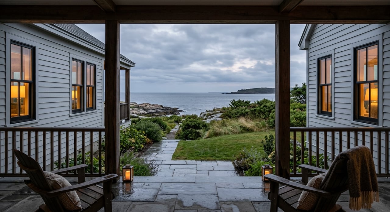
Cape Elizabeth’s ocean-view opportunities are shaped by geography more than by volume. True waterfront supply is limited, so many buyers end up comparing properties with partial water views, elevated sightlines, or near-water settings rather than direct frontage.
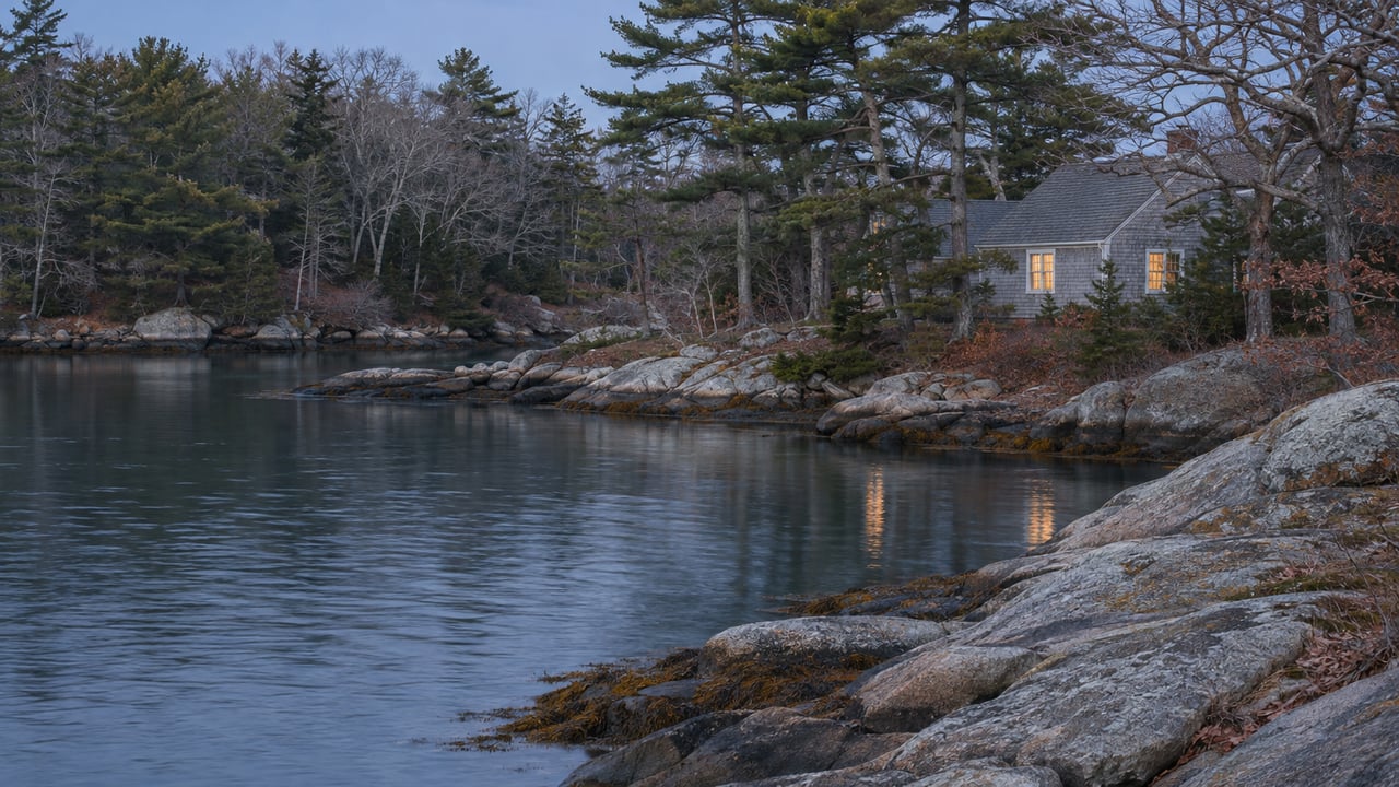
In general, the strongest ocean-view potential is along the south and southwest coast and in headland areas associated with major coastal landmarks and parks. Town planning materials identify the eastern coastline as rocky, while the southern coastline west of Two Lights State Park is more sandy, with Kettle Cove and Crescent Beach along the Route 77 coastal corridor.
That distinction matters when you search. A view lot, a near-water lot, and a waterfront lot can all feel similar in a listing, but they can come with very different zoning, flood, and maintenance realities.
Why View Quality Matters
Not all ocean views carry the same value. Research cited in the report shows buyers often pay a premium for water views, but that premium shifts based on view quality, scarcity, and market conditions.
For you, that means the best buy is not always the widest horizon. A more durable view that is less likely to be blocked by tree growth, constrained by setbacks, or exposed to shoreline hazards can be the stronger long-term choice.
What Local Rules Can Affect
Cape Elizabeth’s coastal properties are shaped by both local zoning and Maine’s shoreland framework. The town’s current ordinances include a Zoning Ordinance effective February 4, 2026, and a construction code effective June 12, 2024, which replaced the previous floodplain management ordinance and floodplain maps for FEMA Zones A, AE, AO, AH, and VE.
Maine’s shoreland program is administered locally, so municipal code enforcement is typically the first stop for shoreland questions. That makes local verification especially important when you are evaluating any ocean-view property with potential tidal, wetland, or stream-related constraints.
Do Not Rely Only on the Map
One of the biggest buyer mistakes is assuming a listing description or GIS image tells the whole story. In Cape Elizabeth, the Shoreland Performance Overlay District is mapped using the best available townwide information, but the actual district boundary is determined by physical features on the site.
In practical terms, a parcel may be more constrained than it first appears. Before you commit, you should confirm whether the lot actually includes tidal waters, coastal wetlands, or stream buffers that trigger shoreland standards.
Key Shoreland Standards to Know
For residential lots adjacent to tidal areas, Cape Elizabeth’s shoreland standards generally require:
- 30,000 square feet of lot area
- 150 feet of shore frontage
- 75-foot setbacks from other water bodies and tributary streams
- 35-foot maximum height
- 20% maximum coverage for structures, parking, and other impervious surfaces within the shoreland district
These rules can have a major effect on what you are really buying. A home with a great existing view may still have a limited future building envelope.
Future Improvements May Be Limited
Older coastal properties can be especially tricky if you hope to expand later. Cape Elizabeth’s ordinance limits expansion of certain nonconforming structures, and some resource-protection districts can add further restrictions on additions, footprint growth, or changes that might seem routine on an inland lot.
If you are picturing a future porch, garage expansion, deck, or primary suite addition, it is smart to investigate that before closing. A home that works for you today may not support the changes you have in mind for tomorrow.
Clearing Trees May Not Open the View
Many buyers assume they can improve an ocean view later by trimming or removing vegetation. In the shoreland zone, that may not be possible to the extent you expect.
Cape Elizabeth’s shoreland vegetation rules limit harvesting and require a well-distributed stand of trees and ground cover in some areas. So if part of the property’s value depends on “opening up” the water view, that assumption should be checked carefully.
Flood and Erosion Risk Need Close Review
A scenic lot is not automatically a low-risk lot. Cape Elizabeth’s flood rules are current, and the official public source for flood hazard maps is FEMA’s Flood Map Service Center.
The town’s planning materials also show that coastal risk is not the same everywhere. Much of the shoreline is described as rocky and less vulnerable, but the Alewife Brook area and the southern sandy coastline near Crescent Beach State Park and the Sprague property are identified as places where climate-related impacts are more likely.
What That Means for Buyers
If you are considering an ocean-view home, review more than the photos. A smart due diligence process includes checking:
- The current FEMA flood map panel
- The property’s flood zone
- Any known drainage history
- Any prior storm or water impacts
- The site’s elevation and shoreline characteristics
If the property falls within a Special Flood Hazard Area and your mortgage is federally backed, flood insurance may be required by the lender. The report also notes that standard homeowners insurance typically does not cover flood damage, and flood insurance pricing can depend on location, construction, and replacement cost.
Erosion Is a Separate Issue
Flooding is only part of the coastal risk picture. Erosion deserves its own review, especially for bluff, beach, or low-lying sites.
Maine MEMA reports that coastal beach erosion occurs widely in parts of Cumberland County, and some beaches or unstable bluffs can lose about a foot per year. That does not mean every coastal parcel in Cape Elizabeth faces the same exposure, but it does mean you should evaluate shoreline stability with care.
Septic Can Be Part of the Purchase Process
For shoreland-area properties, septic is not a small item to leave until the end. Maine law requires an inspection by a certified inspector at transfer for properties in the coastal shoreland area that have a subsurface wastewater disposal system.
If the home you are considering is not fully sewered, that septic review should be built into your due diligence plan. It is one of the more important practical checks for a coastal purchase in Cape Elizabeth.
Ownership Costs Go Beyond the Purchase Price
Ocean-view ownership often involves more maintenance and planning than an inland home. Maine DEP advises shorefront owners to route runoff from roofs and driveways into stable vegetated areas, and it requires erosion-control certification on-site for activities that disturb more than one cubic yard of soil in the shoreland zone until the area is stabilized.
That means seemingly ordinary projects can get more complicated. Landscaping, drainage work, grading, retaining walls, and some tree work may require more forethought on a coastal parcel.
Access and Parking Matter Too
Everyday usability can be easy to miss when you are focused on the view. In Cape Elizabeth, current traffic rules prohibit street parking on Shore Road year-round and restrict parking on side streets near Cliff House Beach from May 1 through October 1.
For you, that can affect guest parking, contractor access, and day-to-day convenience, especially in areas near heavily visited coastal spots. It is worth thinking about how the home will function in all seasons, not just how it looks on a sunny showing day.
How to Evaluate an Ocean-View Property
When you compare properties, it helps to look at each one through three lenses: view durability, permitted use, and hazard exposure. The strongest opportunities are often the homes where all three line up cleanly.
A property may photograph beautifully and still come with major limits. If the view depends on future tree removal, if the lot is heavily constrained by shoreland rules, or if the hazard profile is more serious than expected, the premium may not hold up the way you want.
A Practical Buyer Checklist
Before you move forward on an ocean-view property in Cape Elizabeth, consider verifying:
- Whether the lot is a true waterfront parcel, a near-water parcel, or simply a view property
- The exact shoreland overlay and site-specific physical features
- Setbacks, frontage, lot size, and coverage limits
- Any nonconforming structure issues
- Whether vegetation-clearing rules may limit view changes
- Flood zone status and drainage history
- Signs of bluff, beach, or shoreline erosion
- Whether a certified septic inspection is required at transfer
- Parking and access constraints near busy coastal roads
That kind of review can help you avoid paying a premium for a view that is less usable, less flexible, or more vulnerable than it first appears.
Long-Term Value in Cape Elizabeth
Cape Elizabeth’s ocean-view market remains compelling because the supply is naturally scarce. That scarcity can support resale strength, but the premium is tied to how durable the view really is and how workable the site is over time.
From a long-term ownership standpoint, the best coastal purchases are often the ones that balance beauty with resilience. When you understand the local rules, maintenance realities, and site-specific risks before you buy, you are in a much better position to choose a home that feels special now and still makes sense years from now.
If you want help evaluating ocean-view opportunities in Cape Elizabeth with a practical, locally informed lens, Waypoint Brokers Collective can help you weigh the view, the rules, and the long-term fit with clarity.
FAQs
What areas in Cape Elizabeth are most likely to have ocean views?
- In general, ocean-view potential is strongest along the south and southwest coast and in headland areas associated with places like Two Lights, Kettle Cove, and Crescent Beach along the Route 77 corridor.
What should buyers know about shoreland zoning in Cape Elizabeth?
- Buyers should know that shoreland boundaries are determined by physical site features, not just map labels, and local standards can affect setbacks, lot coverage, building height, frontage, and future improvements.
Can buyers clear trees to improve an ocean view in Cape Elizabeth?
- Not automatically. Shoreland vegetation rules can limit tree removal and require maintained ground cover, so you should verify what is allowed before assuming you can open up a larger view.
Do ocean-view properties in Cape Elizabeth always avoid flood risk?
- No. A property can have a strong water view and still fall within a flood hazard area, so buyers should review the FEMA map panel, flood zone, and any drainage or storm history.
Is a septic inspection required when buying a Cape Elizabeth coastal property?
- If the property is in the coastal shoreland area and has a subsurface wastewater disposal system, Maine law requires an inspection by a certified inspector at transfer.